 The ocean is too large to observe with conventional means. SOI recognizes that in order to make meaningful advances there must be more agile, resilient, and robust platforms. Robots and AI can greatly improve coverage and cost-efficiency for select ocean observations by reducing risk, and facilitating high resolution spatially distributed surveys of dynamic marine processes, as illustrated by the projects discussed in this section.
DATA-DRIVEN CORAL REEF SURVEYS WITH COORDINATED ROBOTIC TEAMS
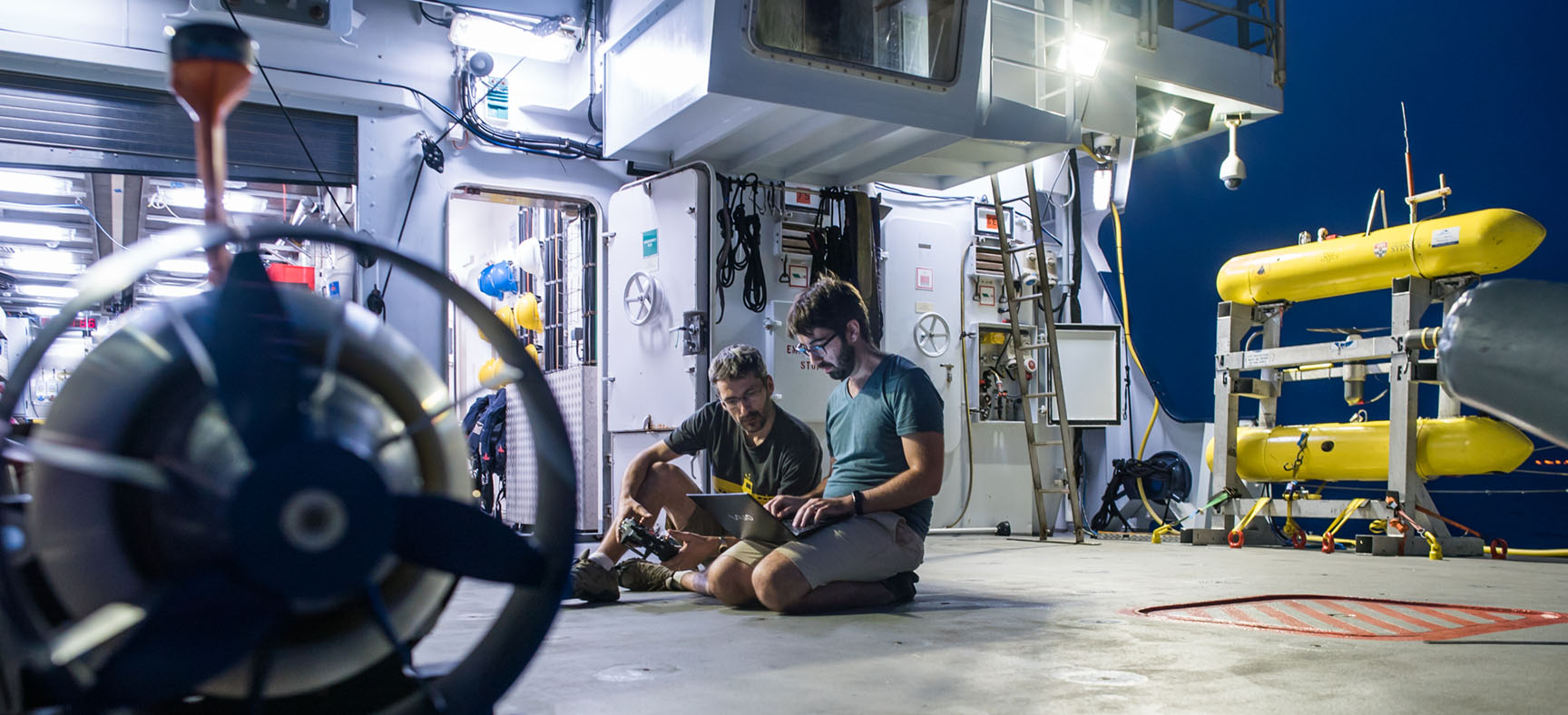
In January, SOI welcomed Dr. Oscar Pizarro, Australian Centre for Field Robotics (ACFR), and his collaborators from MIT and the University of Sydney back aboard Falkor to research and demonstrate multi-robotic surveys of coral reefs. As part of this project, SOI supported the development and testing of data-driven planning algorithms for autonomous marine surveys completed by heterogeneous robots.
This was illustrated by running a consolidated model of a coral reef (in the ‘Au’Au channel off Maui, HI) on Falkor’s high performance computer that was continuously updated with new data gathered by the robotic systems. As each vehicle transmitted fresh observational data to the common model, the software algorithms updated the estimates of uncertainty for each feature of scientific interest. This resulted in identified locations and parameters to be surveyed next by each vehicle, taking in account their operational status, positions, and sensing capabilities. The coordinated robots collected over half a million georeferenced images covering 77,453 square meters of seafloor.
The challenge is trying to do as much as we can to help people make sensible decisions. Having more ocean observations is critical to good science and providing a comprehensive view of what is happening, and how things are changing. This will build our ability to understand the ocean, and to make wiser decisions and policies in the future.
— Oscar Pizarro, Principal Investigator
ADAPTIVE MICROBIAL SAMPLING OF OCEANIC EDDIES WITH LONG RANGE AUVS
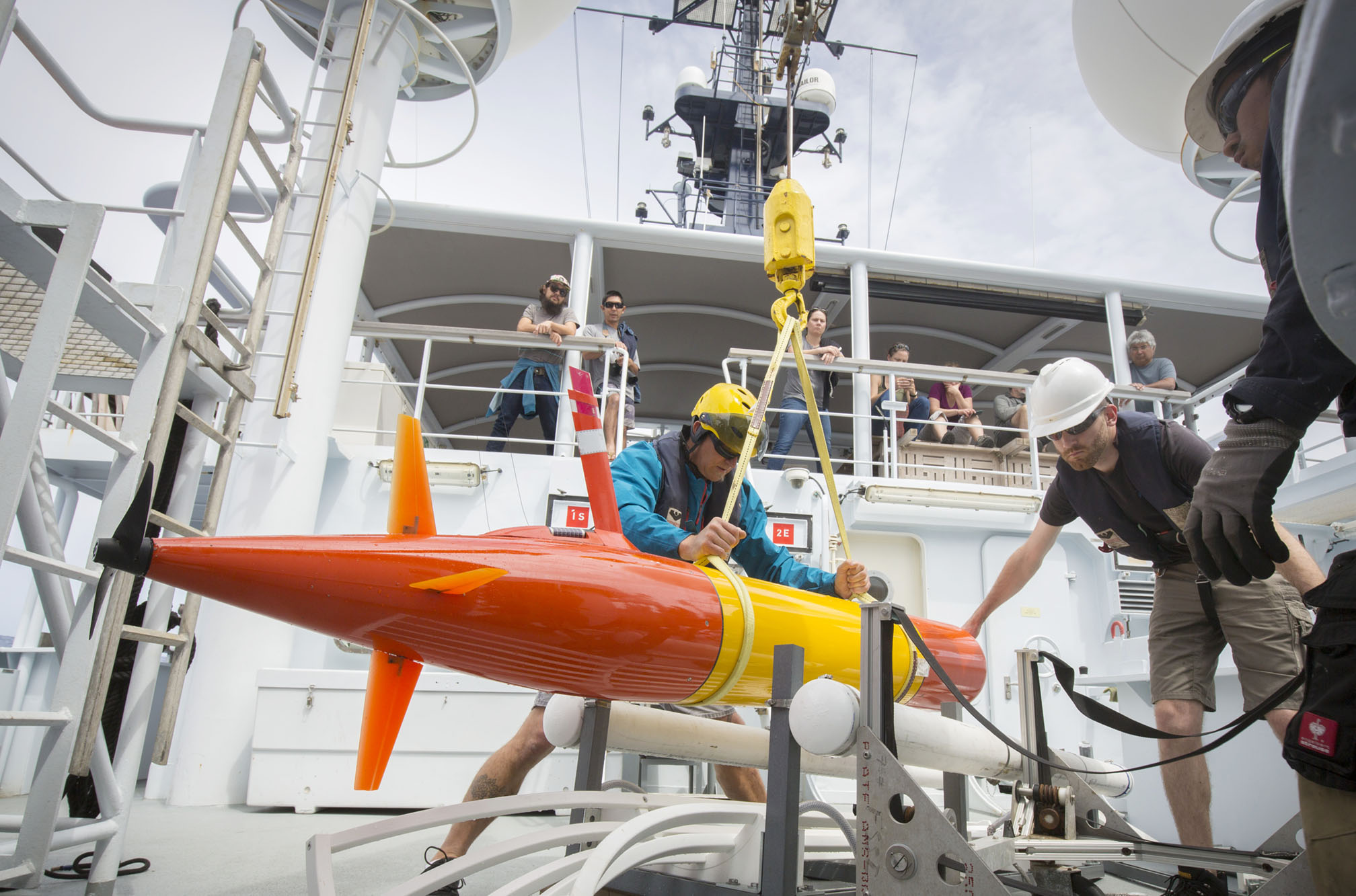
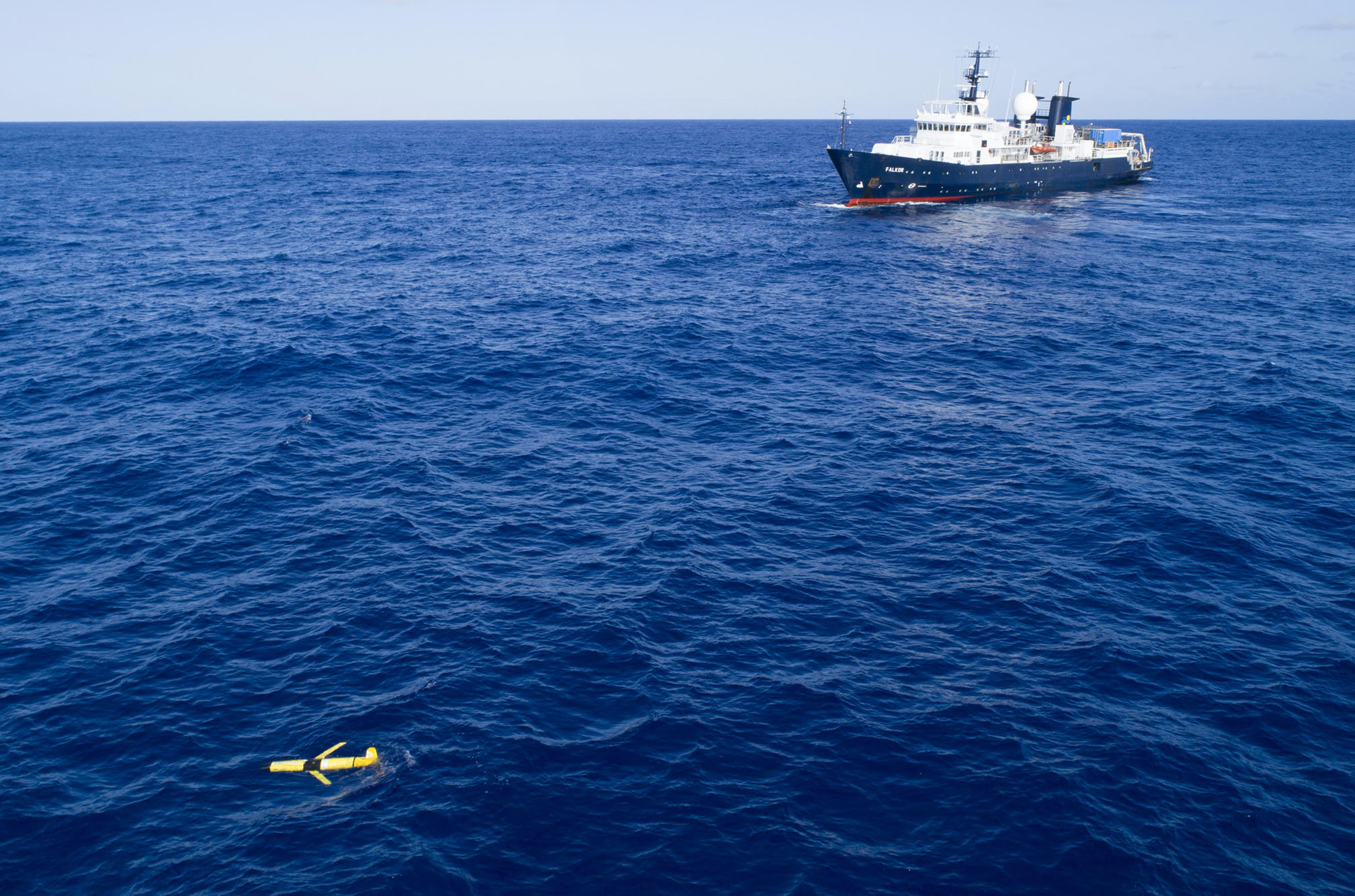
The second Falkor expedition of the year was led by Drs. Sam Wilson and Steve Poulos, University of Hawaii, in collaboration with the Monterey Bay Aquarium Research Institute (MBARI), giving way to the first- ever open ocean deployment, microbial sampling, and in situ data analysis by long range autonomous underwater vehicles (LRAUVs). The LRAUVs are a great engineering feat that enable ocean observation and sampling in remote locations.
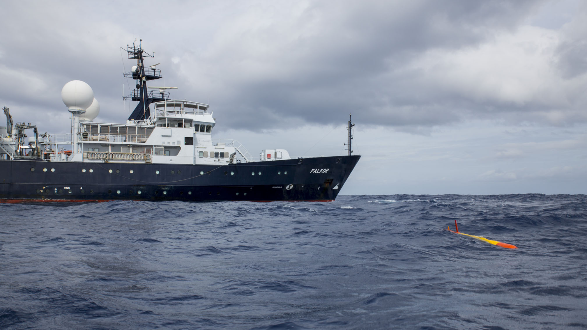
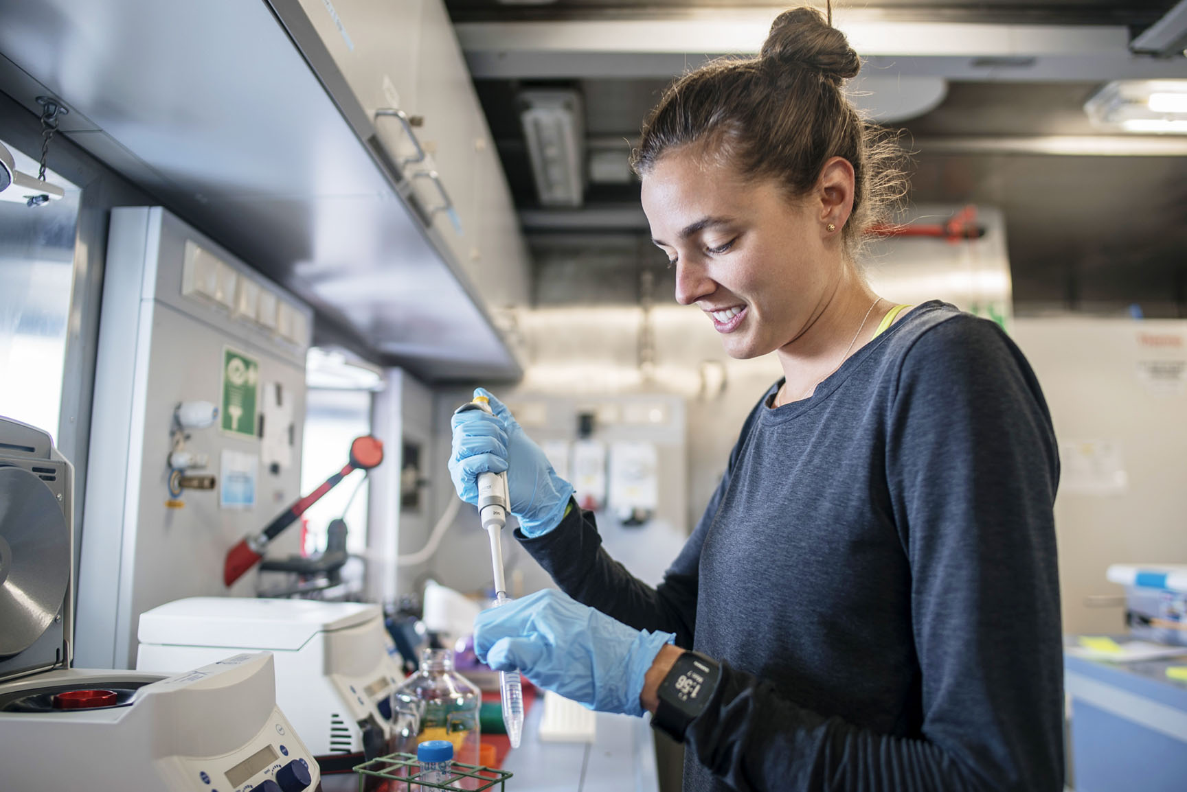
Deploying multiple LRAUVs simultaneously allowed the research team aboard Falkor to adaptively sample a moving ocean eddy field. This research set a new record for the duration of this type of mission and characterized in unprecedented detail microbial communities found in eddy fields. The vehicles captured and analyzed environmental samples in situ while being able to amend and guide their own sampling patterns based on onboard data analyses. The three LRAUVs were fitted with next generation Environmental Sample Processors (ESPs) and other sensors to monitor seawater parameters and identify hydrographic features that are likely to host interesting microbial processes.
The results were stunning, never before in microbial oceanography have researchers been able to sample the open ocean deep chlorophyll maximum and other parameters with this level of precision.
The vehicles offer a novel perspective of these common yet poorly understood oceanic microbial processes. Seawater collected with the LRAUVs is being sequenced and analyzed to determine the structure and composition of the resident marine microbial communities. The samples will help tell us how marine microbes interact with each other in space and time.
We need to understand these microscale processes in order to comprehend bigger processes such as carbon cycling across the global ocean basins.

MID-OCEAN RESEARCH AND MONITORING OF WHITE SHARKS WITH SAILDRONES
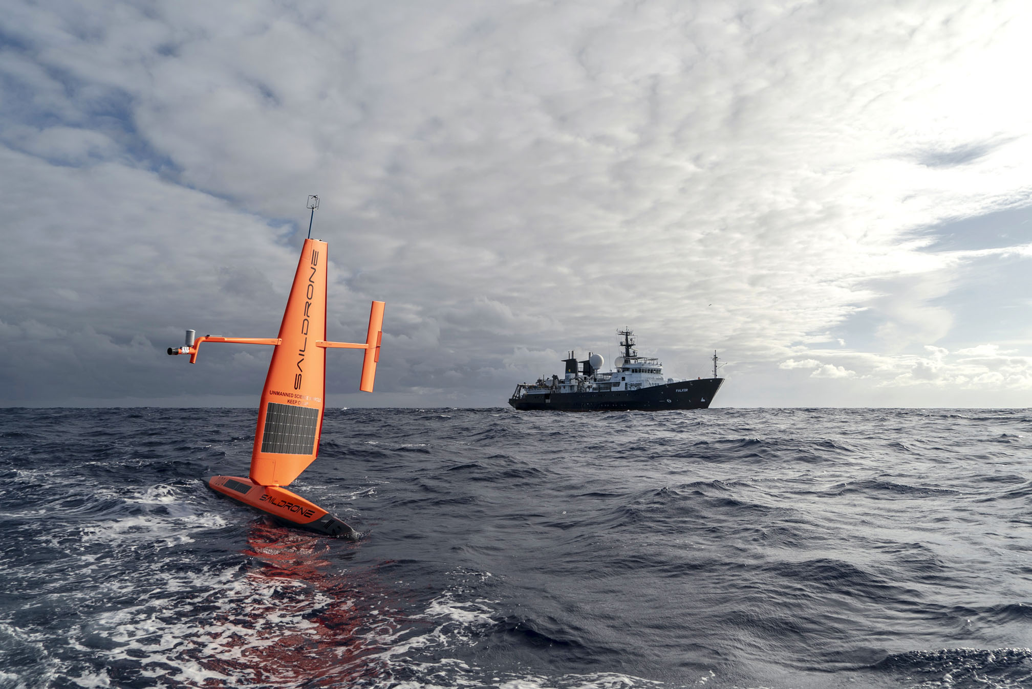
Science on Falkor was guided for the first time by two sensor-laden Saildrones, autonomous surface vehicles with unlimited range and endurance. These long-range vehicles were launched from San Francisco Bay, reaching the White Shark Café a month ahead of Falkor’s arrival to characterize oceanographic conditions, currents, and animal densities in the open ocean region halfway between Hawaii and the Baja California Peninsula.
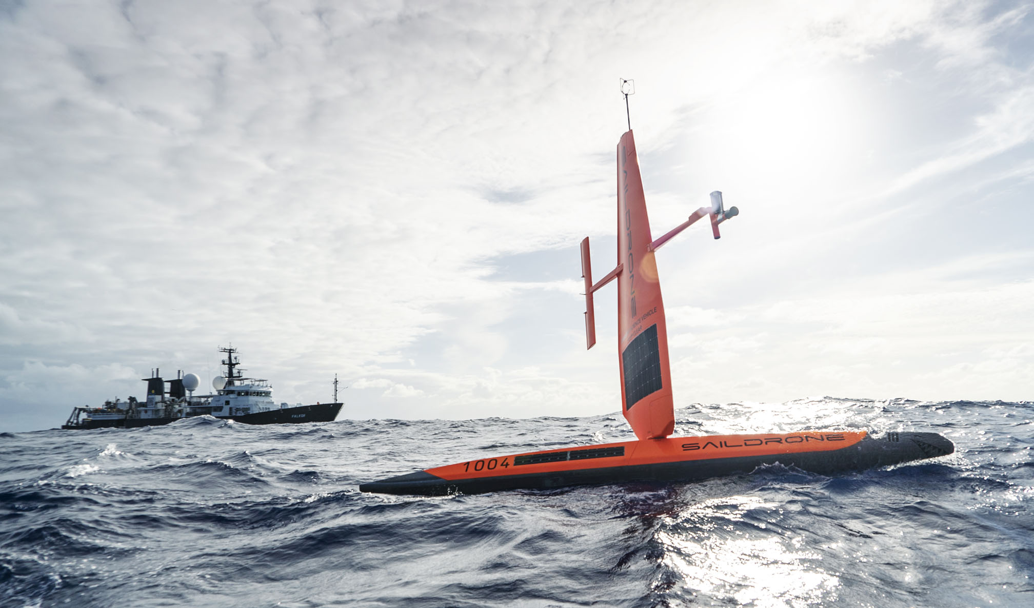
The data gathered was critical for the shipboard research team to accurately identify the white shark congregation area that was later studied with Falkor and SuBastian.
Dr. Barbara Block, Stanford University, led this study with her international team to understand why this remote and desolate area attracts massive-sized white sharks each year. A greater understanding of this otherwise unknown habitat for sharks was achieved with a multi-platform sampling program coupling Falkor with shore- launched robotic vehicles working in tandem. The shipboard team was able to locate all shark tags that were deployed in the previous fall off the coast of California.
Scientific observations, data collection, and sample analysis, including shipboard eDNA sequencing, continued on Falkor. The data provided important new insights into the habitat and white shark behavior. For instance, Saildrone data showed how small-scale ocean eddies draw nutrients closer to the surface, enhancing biological production, which could make this region more appealing for sharks. This finding offered a valuable head start to the scientists in addressing the key questions of their study.
“We have doubled the current 20-year data set on white shark diving behaviors in just three weeks using tools that provided a rapid census of the predators and prey of a remote ocean region,” said Dr. Block. “This helps establish observations that will allow with an operational range of 1,000 km for better understanding of this environment and why it attracts large predators.”
STRETCHING THE LIMITS OF ROBOTIC AUTONOMY FOR OCEAN SURVEYING
While returning to California, the two Saildrones were remotely re-tasked to support a project led by Dr. João de Sousa, University of Porto. The robust multi-vehicle mission used planning and control algorithms to enable real-time analysis of complex ocean dynamics, specifically locating, tracking, and measuring the North Pacific Subtropical Front.
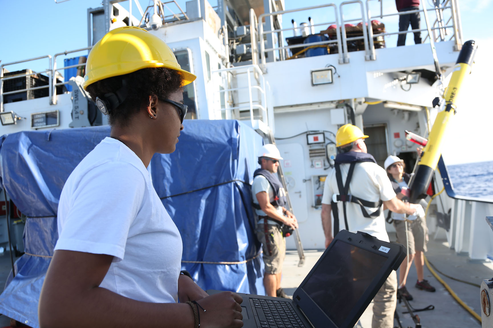
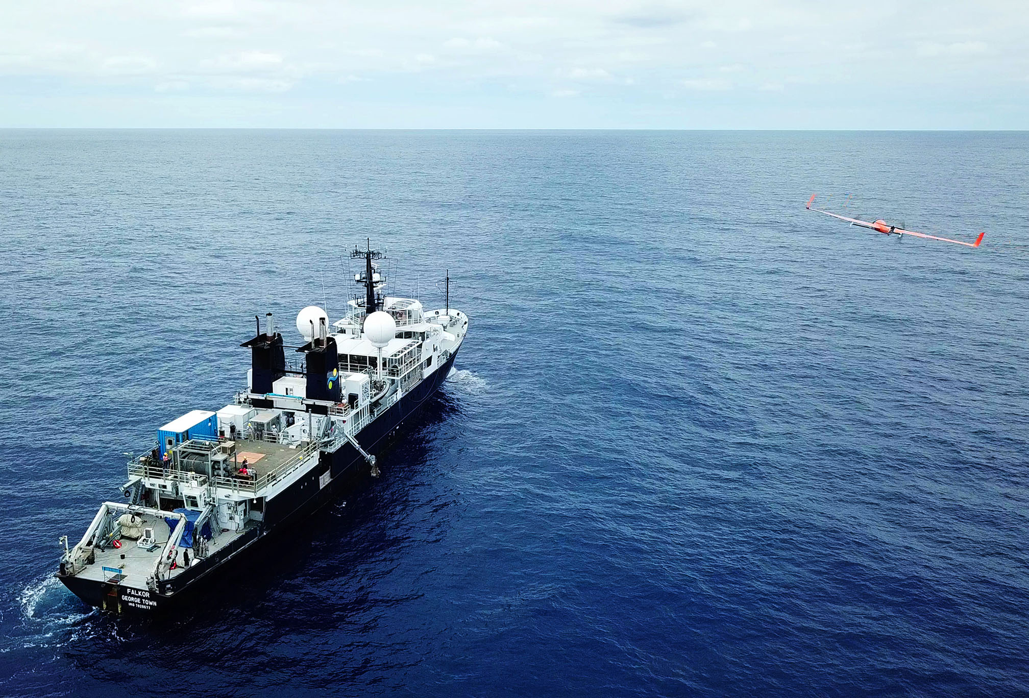
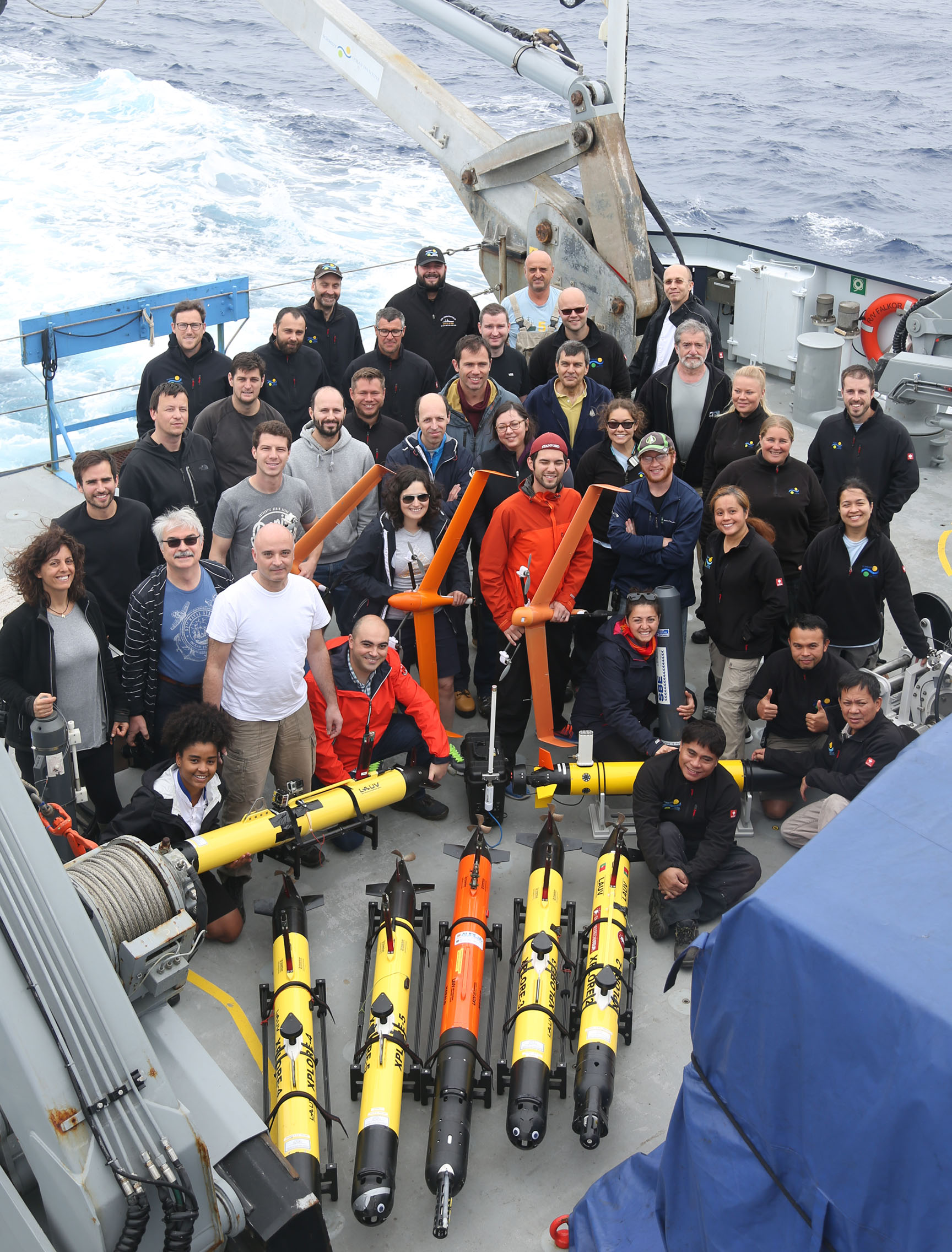
This multi-platform approach was completed with many low cost vehicles deployed from Falkor in different mediums, including underwater, surface and air. More than a dozen robotic systems were deployed and simultaneously operated by an SOI-supported Ocean Space Center software running aboard Falkor, allowing the researchers to map the oceanic feature in high, sub-mesoscale resolution, including space and time.
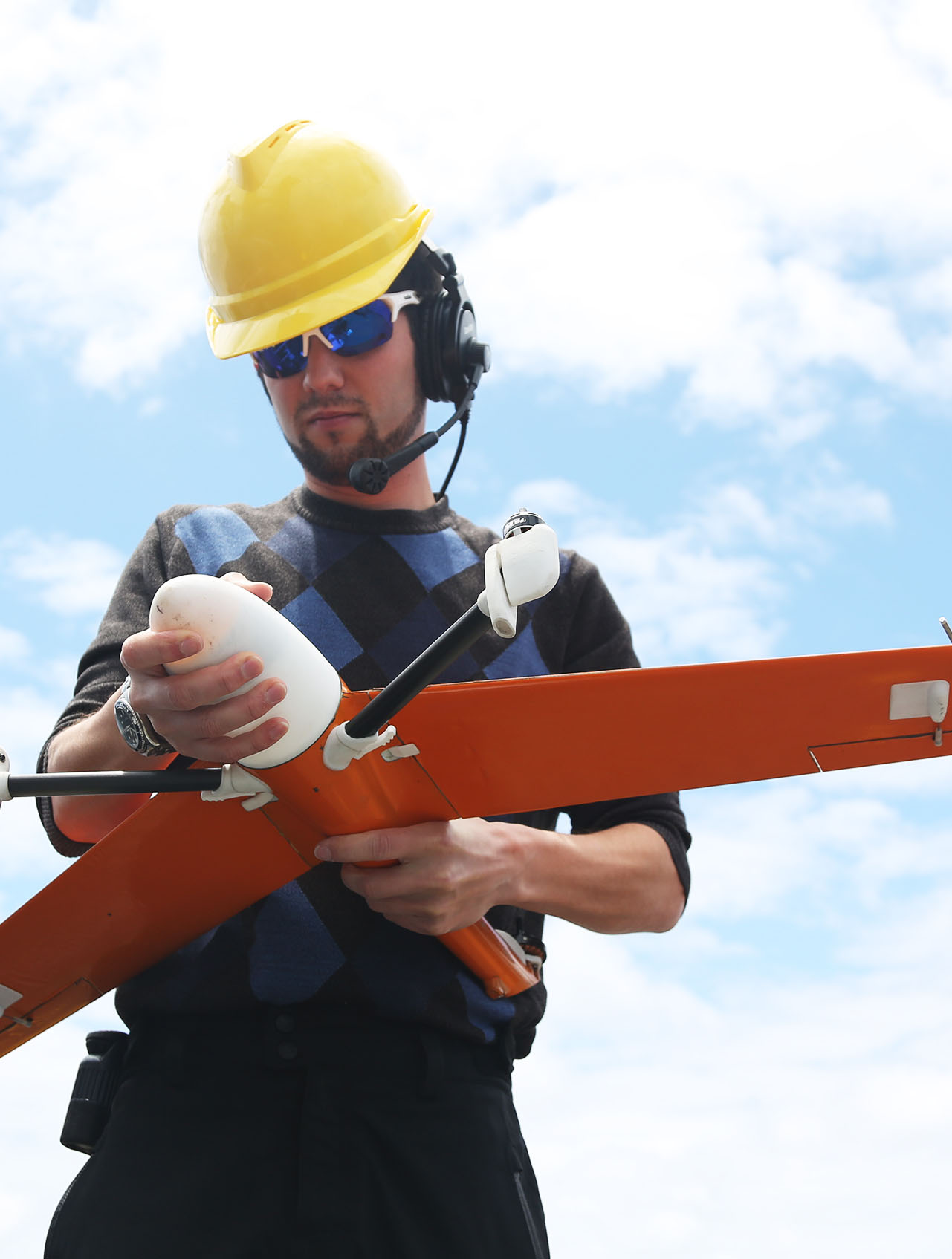
To coordinate the operations of multiple robotic platforms, the team flew unmanned aerial vehicles (UAVs) over the areas of operations to collect oceanographic observations, serving as “mules” to ferry data between distant AUVs and the Falkor. By the end of the expedition, the AUVs traveled over 3,430 kilometers for approximately 500 hours; and the UAVs performed over 25 flawless flights totaling 10 hours.
The technologies used on this expedition represent an important step towards achieving the levels of persistence, spatial and temporal resolution, as well as coverage, required for scalable ocean studies in a changing climate. “Oceans are the Earth’s life support system. To be properly taken care of, they need to be characterized with much higher resolution and coverage in time in space than what’s possible with ships,” said Dr. de Sousa.

